Google Maps

April 21, 2012 ·

1885 locations of the servant girl murders now in Google Maps!

google maps servant girl murder locations

Next Post

Notes on Research

I am not the first to delve into this mystery.  The first time I opened the drawer of the microfilm cabinet and saw all the small cardboard boxes of microfilm packed snuggly inside, I noticed that the boxes labeled 1885…
Read
Random Post

Weed House 4th Street: from Victorian Gothic to Colonial Revival to parking lot.

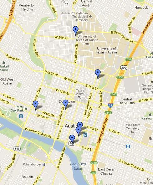
The residence of Valentine O. Weed (300 E. 4th Street), location of the murder of Mary Ramey. Earliest photo circa 1900, later re-modeled in the colonial revival style circa 1940, and finally demolished, as a parking lot 1997. PICH 00103…
Read
Random Post

The Great Bat Slaughter of 1885

Austin, Texas is the seasonal home to a large population of Mexican free-tailed bats who spend their summers under the Congress Avenue bridge on the edge of downtown.  According to Wikipedia it is the largest urban colony in North America,…
Read
Random Post

Mothers and Sons

Unidentified albumen print. One morning before dawn in the summer of 1883, a strange persistent cry echoed through a west Austin neighborhood and caught the attention of two women, Sophia Phillips and Sallie Mack, both of whom lived nearby. They…
Read
Random Post

Saving Austin's History

Saving Austin's History A short film by Alpheus Media.   ______________________________
Read
Random Post

Robinson Residence. Scene of West Austin Crime Spree. May 1, 1885

The Robinson ResidenceCourtesy DeGolyer Library, Southern Methodist University, Dallas, Texas, Ag2008.0005.   Many people must have been aroused between one and two o'clock by a rapid discharge of fire arms on Rio Grande street, near its intersection with Pecan.  This…
Read